
03 ม.ค. The Key to a Sustainable Future with 4 GIS Solutions
Posted at 13:17h
in Blog
In an era where sustainability is a shared priority across all sectors, Geographic Information System (GIS) technology has become a pivotal force in advancing Environmental, Social, and Governance (ESG) initiatives. By leveraging spatial data, GIS creates impactful solutions addressing various dimensions of sustainable development—ranging from urban planning and disaster management to agriculture and clean energy support. Let’s explore how GIS contributes to a sustainable future through its four transformative solutions.
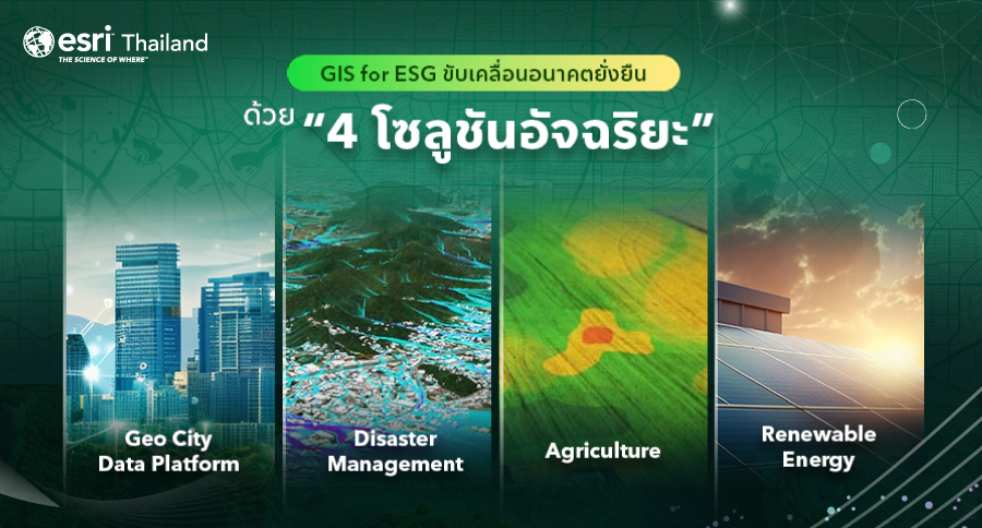
Geo City Data Platform: Laying the Foundation for Sustainable Cities
As global populations grow, managing urban areas effectively becomes increasingly challenging. The Geo City Data Platform employs GIS technology to collect and analyze spatial data, enabling sustainable urban planning and development. From population distribution and resource optimization to pollution control, GIS empowers cities to make data-driven decisions. This ensures a balance between economic growth and environmental preservation—aligning perfectly with ESG principles.
Disaster Management: Efficiently Tackling Natural Hazards
Natural disasters such as floods, earthquakes, and wildfires significantly impact lives and economies. GIS plays a critical role in helping organizations and agencies monitor and manage disaster-related data in real time. By forecasting trends, assessing risks, and planning mitigation strategies, GIS reduces the impact on communities and the environment. Moreover, it minimizes the loss of lives and resources, making disaster management more efficient and proactive.
Agriculture for Sustainability: Enhancing Productivity Responsibly
In agriculture, GIS elevates sustainable practices by offering deep insights into soil conditions, moisture levels, and sunlight availability. This helps farmers optimize resource usage, such as water and fertilizers, while reducing waste and environmental impact. Additionally, GIS enables seasonal crop planning to maximize yields, ensuring that agriculture remains not only eco-friendly but also economically viable in the long term.
Renewable Energy: Supporting Clean Energy Initiatives
Renewable energy is a cornerstone of a sustainable future, and GIS is integral in identifying suitable locations for clean energy projects such as solar farms and wind turbines. By analyzing factors like solar intensity, wind speed, and grid accessibility, GIS ensures efficient planning for renewable energy infrastructure. This reduces reliance on fossil fuels and promotes the adoption of sustainable energy sources.
GIS technology is not just a tool for spatial data—it is a powerful catalyst for achieving ESG objectives across diverse sectors. From urban development and disaster resilience to agriculture and renewable energy, GIS enhances decision-making precision and fosters long-term sustainability.
The core of GIS’s effectiveness lies in its ability to integrate comprehensive, diverse, and reliable data. This integration enables accurate analysis, effective management, and forward-looking predictions. Whether it’s building smart cities, tackling natural disasters, supporting eco-friendly agriculture, or advancing renewable energy, GIS equips organizations with the insights needed to optimize resource management and minimize environmental and social impacts.
By harnessing the power of GIS, we can not only drive sustainable development but also ensure that our actions align with the holistic vision of ESG. This transformation isn’t just about technology—it’s about leveraging accurate data to build a sustainable, resilient, and inclusive future for all.