02 Jul Esri User Conference 2020 l Plenary Session
From the bottom of our hearts, thank you for making our first virtual #EsriUC amazing. We look forward to seeing you in UC2021


Watch the Plenary Session videos here
Dates and times
Monday, July 13 | 10:00 a.m. – 12:00 p.m. PDT ( Thailand : Tuesday, Jul 14 | 12:00 a.m. – 2:00 a.m.)
Act 1 | GIS – Interconnecting Our World
Tuesday, July 14 | 10:00 a.m. – 11:00 a.m. PDT ( Thailand : Wednesday, Jul 15 | 12:00 a.m. – 1:00 a.m.)
Act 2 | GIS – Interconnecting Our World with ArcGIS Technology and Applications
Wednesday, July 15 | 10:00 a.m. – 11:00 a.m. PDT (Thailand : Thursday, Jul 16 | 12:00 a.m. – 1:00 a.m.)
Act 3 | GIS – Interconnecting Our World: Making Geographic Knowledge Pervasive
Esri UC Plenary Session

Monday, July 13 | 10:00 a.m. – 12:00 p.m. PDT (Thailand : Tuesday, Jul 14 | 12:00 a.m. – 2:00 a.m.)
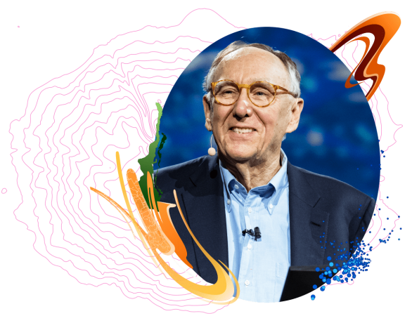
by Jack Dangermond, President, Esri
Over the course of just a few months, the world turned upside down. The COVID-19 pandemic impacted the global economy, closed international borders, and ushered in the practice of social distancing. It also affected the Esri User Conference – turning it virtual for the first time in history.
Yet, it is through this global pandemic that we see just how interconnected the systems of the world are – and the important role GIS is playing in moving the world forward. These include connected systems across national, state, and local governments, private businesses, individuals, and society as a whole.
GIS facilitates the interconnection across all of these systems integrating everything through an intelligent nervous system that engages everyone to build better outcomes for their communities. It provides us with a scientific understanding to anticipate, prevent and prepare creating safer, more resilient communities, and a safer world.
In Part 1 of the virtual Esri UC Plenary Session, Jack Dangermond will explore how the nervous system of our world has never been more interconnected than it is today. Viewers will see demonstrations of new technologies that facilitate the interconnection of these systems, as GIS leads the way forward.
Part 2 | GIS – Interconnecting Our World: ArcGIS Technology & Applications
Tuesday, July 14 | 10:00 a.m. – 11:00 a.m. PDT (Thailand : Wednesday, Jul 15 | 12:00 a.m. – 1:00 a.m.)
by Esri Staff
In part 2 of the virtual Esri UC Plenary Session, hear from Esri staff as they share the latest in ArcGIS technology and applications. Learn how these tools can be applied to meet a variety of business challenges around the world.
Discover how the use of new technology and enhancements in ArcGIS support the continuity of business operations and crisis management. See how using these powerful tools helps us all build safer, more resilient communities and an interconnected society as we continue the battle against coronavirus disease 2019 (COVID-19).

Wednesday, July 15 | 10:00 a.m. – 11:00 a.m. PDT (Thailand : Thursday, Jul 16 | 12:00 a.m. – 1:00 a.m.)
Hosted by Jack Dangermond, President, Esri
Special Guests :
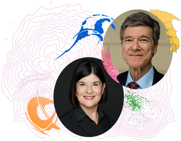
Dr. Vicki Phillips, Executive Vice President and Chief Education Officer, National Geographic Society
Jeffrey Sachs, President of the UN Sustainable Development Solutions Network, UN SDG Advocate, and Director of the Center for Sustainable Development at Columbia University
This 60-minute finale will provide you with an actionable vision to move your GIS forward for generations to come. Hear how thought leaders are enabling global sustainability by making geographic knowledge pervasive across education, science, and society.
Dr. Vicki Phillips, Executive Vice President and Chief Education Officer for the National Geographic Society, will join Jack Dangermond to discuss the many ways geography and spatial thinking play a vital role in multidisciplinary education. Learn how Esri and the National Geographic Society are partnering to develop spatial solution seekers.
Jeffrey Sachs, a world-renowned economist, professor, and author, will share his vision on how the monitoring and analysis of data will help us achieve the global Sustainable Development Goals. He will challenge us to engage deeper with information to interconnect society for a more sustainable future.

