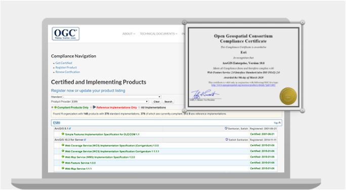
Standards and Specifications
Esri has a decades-long commitment to open standards and interoperability. Esri actively contributes to international standards development processes and has a history of open-sourcing its format specifications such as the shapefile and indexed 3D scene layers.
Standards and Specifications
Esri has a decades-long commitment to open standards and interoperability. Esri actively contributes to international standards development processes and has a history of open-sourcing its format specifications such as the shapefile and indexed 3D scene layers.
Standards Development Organizations
Esri maintains membership in, provides active geospatial expertise to, and participates in
community engagement with a number of international standards development organizations
(SDOs).
Standards Development Organizations
Esri maintains membership in, provides active geospatial expertise to, and participates in community engagement with a number of international standards development organizations (SDOs).
ISO/TC 211
International Organization for Standardization Technical Committee 211
OGC
Open Geospatial Consortium
W3C
World Wide Web Consortium
IHO
International Hydrographic Organization
ISO/TC 211
International Organization for Standardization Technical Committee 211
OGC
Open Geospatial Consortium
W3C
World Wide Web Consortium
IHO
International Hydrographic Organization
Esri published specifications
Esri publishes many widely used specifications to help spur interoperability and innovation in the
geospatial community. These specifications are available for download, inspection, and reuse.
Esri publishes many widely used specifications to help spur interoperability and innovation in the geospatial community. These specifications are available for download, inspection, and reuse.
Shapefile
XML Schema of the Geodatabase
GeoServices REST-based API
Esri Feature Services circa 2010 open sourced as GeoServices to the Open Web Foundation
3D Scene (I3S)
Web Map
Tile Package (.tpkx)
Raster Format (LERC)
Limited Error Raster Compression
Cartographic Information Model (CIM)
Shapefile
XML Schema of the Geodatabase
GeoServices REST-based API
Esri Feature Services circa 2010 open sourced as GeoServices to the Open Web Foundation
3D Scene (I3S)
Web Map
Tile Package (.tpkx)
Raster Format (LERC)
Limited Error Raster Compression
Cartographic Information Model (CIM)

