Education
ArcGIS for Education
Schools
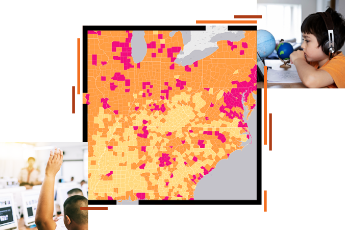
Interactive maps make learning come alive in mainstream subjects—like environmental science, math, history, and literature—and beyond.
Higher Education
Students, faculty members, and campus administrators apply The Science of Where for better decision-making and a more sustainable future.
Lifelong Learning
GIS users of all ages and stages of professional development are actively involved in learning, teaching, and mentoring. Esri embraces lifelong learning every step of the way.
ArcGIS
Leading colleges and universities use the latest technologies. ArcGIS provides educators, students, and staff with a comprehensive platform for mapping, analyzing, and sharing their data.
ArcGIS Online: Gateway of Web Mapping
- Easy map authoring and sharing
- Extensive collection of reusable content
- Spatial analysis in the cloud
ArcGIS Pro : The future of desktop GIS
- Modern, high-performance technology
- Familiar and intuitive user interface
- Advanced cartography and analytics
ArcGIS Enterprise: Next Generation GIS Server
- An enterprise GIS portal
- Adding big data and imagery capabilities
- Technology graduates need to know
Education Licensing : Low-cost access to ArcGIS
- Includes all major platform components
- Mobile learning on personal devices
- Grow your GIS community, not your costs
Education Package for instructors
•BUNDLE
Academic – Small Department (5 users)
A suite of apps to help research teams in data collection, spatial analysis, and data science.
•BUNDLE
Academic – Medium Department (10 users)
A suite of apps to help research teams in data collection, spatial analysis, and data science.
•BUNDLE
Academic – Large Department (100 users)
A suite of apps to help research teams in data collection, spatial analysis, and data science.
Education Package for administrators
•BUNDLE
Administrative – Small Department (5 users)
A suite of apps to support master planning, facilities management, and campus safety.
•BUNDLE
Administrative – Medium Department (50 users)
A suite of apps to support master planning, facilities management, and campus safety.
•BUNDLE
Administrative – Large Department (100 users)
A suite of apps to support master planning, facilities management, and campus safety.
Case Study

L.A. High School Maptivists Research Social Justice
Student “Maptivists” Inspire STEM magnet school students inspired by Will.i.am show how they used ArcGIS to understand and change their neighborhood in Boyle Heights, East L.A..

University of Minnesota
University of Minnesota shares a case study about how Esri’s ArcGIS platform has transformed the way assets are maintained and managed on campus.
ArcGIS for Education
Schools
Interactive maps make learning come alive in mainstream subjects—like environmental science, math, history, and literature—and beyond.
Higher Education
Students, faculty members, and campus administrators apply The Science of Where for better decision-making and a more sustainable future.
Lifelong Learning
GIS users of all ages and stages of professional development are actively involved in learning, teaching, and mentoring. Esri embraces lifelong learning every step of the way.
ArcGIS
Leading colleges and universities use the latest technologies. ArcGIS provides educators, students, and staff with a comprehensive platform for mapping, analyzing, and sharing their data.
ArcGIS Online: Gateway of Web Mapping
- Easy map authoring and sharing
- Extensive collection of reusable content
- Spatial analysis in the cloud
ArcGIS Pro : The future of desktop GIS
- Modern, high-performance technology
- Familiar and intuitive user interface
- Advanced cartography and analytics
ArcGIS Enterprise: Next Generation GIS Server
- An enterprise GIS portal
- Adding big data and imagery capabilities
- Technology graduates need to know
Education Licensing : Low-cost access to ArcGIS
- Includes all major platform components
- Mobile learning on personal devices
- Grow your GIS community, not your costs
Education Package for instructors
•BUNDLE
Academic – Small Department (5 users)
A suite of apps to help research teams in data collection, spatial analysis, and data science.
•BUNDLE
Academic – Medium Department (10 users)
A suite of apps to help research teams in data collection, spatial analysis, and data science.
•BUNDLE
Academic – Large Department (100 users)
A suite of apps to help research teams in data collection, spatial analysis, and data science.
Education Package for administrators
•BUNDLE
Administrative – Small Department (5 users)
A suite of apps to support master planning, facilities management, and campus safety.
•BUNDLE
Administrative – Medium Department (50 users)
A suite of apps to support master planning, facilities management, and campus safety.
•BUNDLE
Administrative – Large Department (100 users)
A suite of apps to support master planning, facilities management, and campus safety.
Case Study

L.A. High School Maptivists Research Social Justice
Student “Maptivists” Inspire STEM magnet school students inspired by Will.i.am show how they used ArcGIS to understand and change their neighborhood in Boyle Heights, East L.A..

University of Minnesota
University of Minnesota shares a case study about how Esri’s ArcGIS platform has transformed the way assets are maintained and managed on campus.
