Geo City
Data Platform
(Geo CDP)
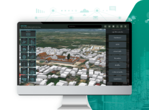
The Geo City Data Platform (Geo CDP) is a smart city data management platform that integrates the capabilities of a One Map database and a One Platform spatial analysis system, presenting digital twin models of cities in both 2D and 3D. Equipped with various internal management systems, this platform boosts the efficiency of municipal operations and the quality of services provided to citizens, thereby facilitating more effective and sustainable urban planning and development.
The Geo City Data Platform (Geo CDP) is a smart city data management platform that integrates the capabilities of a One Map database and a One Platform spatial analysis system, presenting digital twin models of cities in both 2D and 3D. Equipped with various internal management systems, this platform boosts the efficiency of municipal operations and the quality of services provided to citizens, thereby facilitating more effective and sustainable urban planning and development.
Building upon the internal management systems, the platform features a suite of tools designed for municipal departments, including:
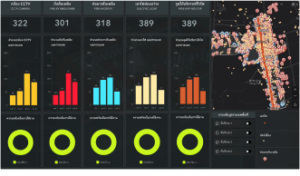
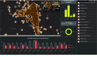
Dashboards for monitoring the status of various municipal assets, such as CCTV cameras
Dashboards for tracking citizen complaints
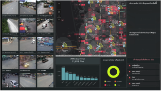
Systems for analyzing and evaluating CCTV coverage and connecting CCTV to online networks
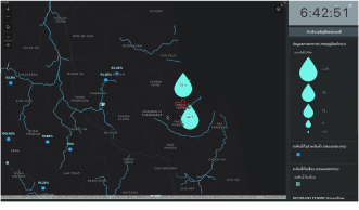
Systems for forecasting and monitoring water situations to facilitate flood prevention, overflow management, and evacuation planning
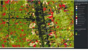
Systems for displaying land use changes to inform urban expansion
Systems for analyzing and planning healthcare services for pets
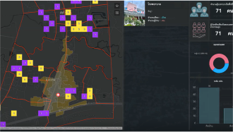
Systems for assessing public health service coverage for vulnerable groups
Systems for displaying land use changes to inform urban expansion
Systems for analyzing and planning healthcare services for pets
Systems for assessing public health service coverage for vulnerable groups
Geo CDP offers over ten foundational data layers readily available for municipalities. These include:
Basemap layers
3D models of buildings and landmarks
Topographical elevation data
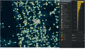
Key locations such as hospitals, police stations, fire stations, and educational institutions
Transportation routes, including roads and railways
Waterways, including rivers and canals
Administrative boundaries
Parks, health gardens, and green spaces
High-resolution satellite imagery showing land use
AI-generated analytical data
Trends in land use changes for urban growth assessments
Green spaces and canopy height measurements for carbon credit evaluations
Forecasts of water mass levels up to six days in advance for emergency water situation assessments
Real-time data from government agencies
Rainfall measurements
Reservoir water level measurements
The platform supports various data import formats, including Web API, CSV, Excel, CAD, Sketchup Models, BIM, and others, ensuring seamless integration into the Geo CDP system.
Flexibility in System Development and Integration
The Geo City Data Platform is a smart city spatial data management platform characterized by its flexibility and agility. Built on a no-code application framework, it enables rapid deployment for municipalities. This platform not only allows for quick enhancements of its capabilities but also facilitates seamless integration with other municipal systems, thereby ensuring efficient data tracking on a single platform. Notable integrations include:
Additionally, the platform supports user access permissions in line with international standards for service and data security.


