Sustainable Development
Sustainable
Development
Goals
Accelerate action on the UN Global Goals
The United Nations (UN) 2030 Agenda for Sustainable Development, and the 17 SDGs, are a global call to action in support of people, the planet, prosperity, and peace.
GIS technology provides a powerful way to collaborate and understand the social, economic, and environmental dimensions of each goal. Apply a geographic approach to identify common ground and speed collective action.
Drive progress with GIS
Gain a location-based understanding of the factors that influence development goals to effectively
target action within communities.
Integrate and collect data
Understand indicators
Monitor and share progress

Integrate and collect SDG data for reporting
Location is key to understanding SDG indicators. With ArcGIS, you can integrate administrative, census, and demographic data from business systems, tabular sources, and earth observations. Support accurate data collection in any environment to ensure data is current for analysis and reporting.

Calculate and analyze SDG indicator data
ArcGIS uses spatial data science to examine and analyze SDG indicator data in relation to geographic location. With this insight, you can do more than map where things are. You can understand patterns and trends that help focus your efforts on the right locations.

Communicate progress and maximize impact
Using GIS to provide maps and data organized around the SDGs gives stakeholders transparency and guarantees that everyone has the most current insight on progress toward goals. This reduces duplication and ensures limited resources are applied to locations that can make the greatest impact for people and the planet.
Drive progress with GIS
Gain a location-based understanding of the factors that influence development goals to effectively
target action within communities.
Integrate and collect data
Understand indicators
Monitor and share progress
Integrate and collect SDG data for reporting
Location is key to understanding SDG indicators. With ArcGIS, you can integrate administrative, census, and demographic data from business systems, tabular sources, and earth observations. Support accurate data collection in any environment to ensure data is current for analysis and reporting.

Calculate and analyze SDG indicator data
ArcGIS uses spatial data science to examine and analyze SDG indicator data in relation to geographic location. With this insight, you can do more than map where things are. You can understand patterns and trends that help focus your efforts on the right locations.

Communicate progress and maximize impact
Using GIS to provide maps and data organized around the SDGs gives stakeholders transparency and guarantees that everyone has the most current insight on progress toward goals. This reduces duplication and ensures limited resources are applied to locations that can make the greatest impact for people and the planet.

A platform for sustainable development
Esri’s ArcGIS platform equips you to better plan, execute, and report on sustainable development in any situation. Achieve goals faster with scientifically grounded system that precisely measures growth and provides the tools to share progress with the community.
Plan effectively
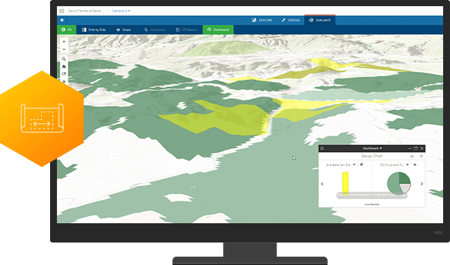
ArcGIS workflows maximize the impact of projects by optimizing the distribution of resources. Get insight about where activities can be focused to best reach targets outlined in global Sustainable Development Goals.
Plan effectively
ArcGIS workflows maximize the impact of projects by optimizing the distribution of resources. Get insight about where activities can be focused to best reach targets outlined in global Sustainable Development Goals.

Measure impact
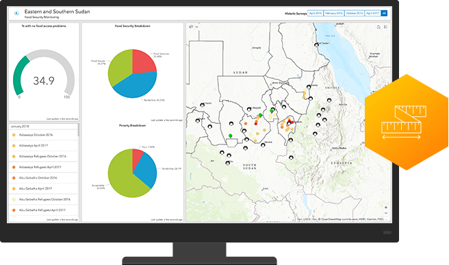
A location intelligence platform precisely measures results so you can justify expenditures and secure future funding. Take advantage of analytics that precisely assess program effectiveness and enable you to share it with all stakeholders via dashboards and map-based reports.
Measure impact
A location intelligence platform precisely measures results so you can justify expenditures and secure future funding. Take advantage of analytics that precisely assess program effectiveness and enable you to share it with all stakeholders via dashboards and map-based reports.

Strengthen partnerships
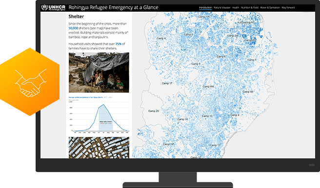
ArcGIS is as a collaboration hub that facilitates partner/client interaction. Leverage easy-to-configure apps, interactive maps, and authoritative data to engage grantees, beneficiaries, donors, and the public.
Strengthen partnerships
ArcGIS is as a collaboration hub that facilitates partner/client interaction. Leverage easy-to-configure apps, interactive maps, and authoritative data to engage grantees, beneficiaries, donors, and the public.

Case Study
The Business Value of Sustainability
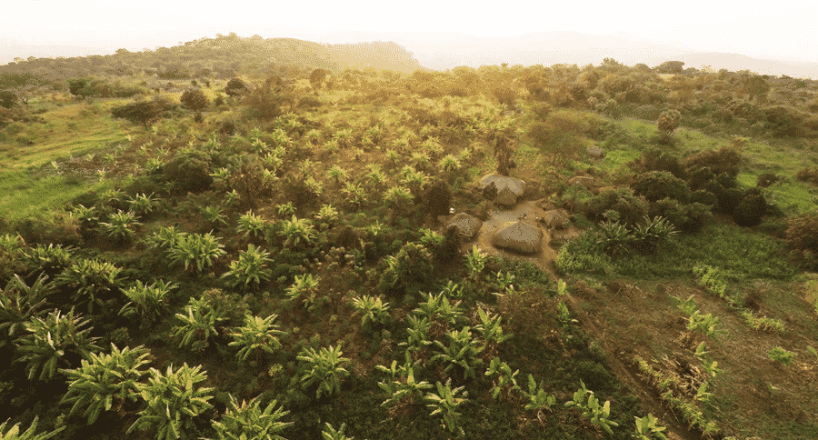
While scientists issue warnings about a fragile climate, executives are embracing the business value of sustainability.

National Audubon Society
Using Esri technology to collect and manage its data, the National Audubon Society completed a comprehensive survey of protected bird species in the state of Washington.
Case Study

The Business Value of Sustainability
While scientists issue warnings about a fragile climate, executives are embracing the business value of sustainability.

National Audubon Society
Using Esri technology to collect and manage its data, the National Audubon Society completed a comprehensive survey of protected bird species in the state of Washington.


