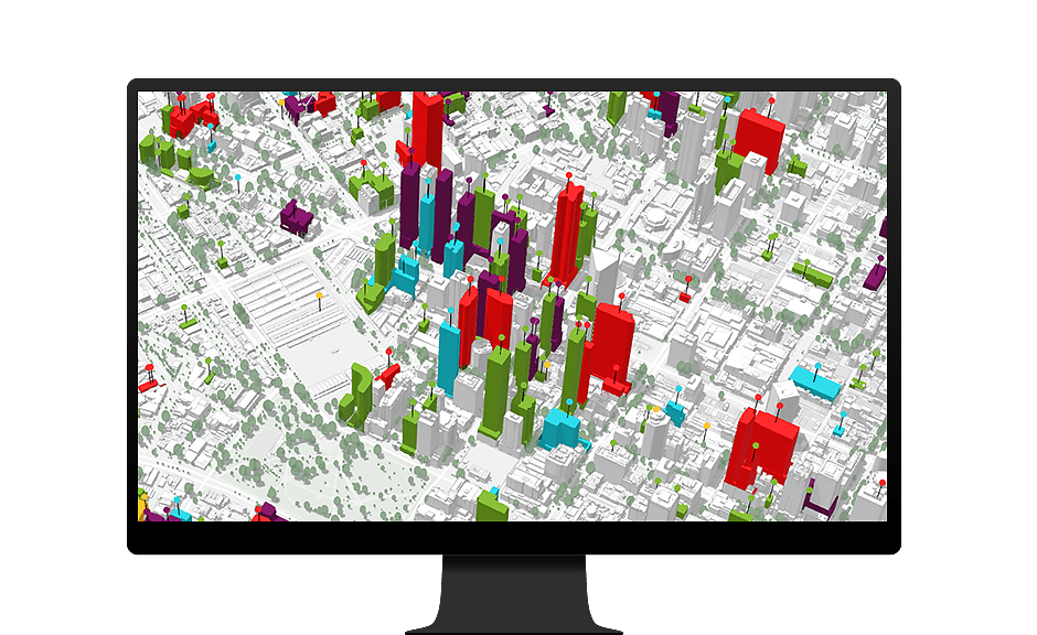
Comprehensive Plans
In ArcGIS Urban, a scenario-based comprehensive plan is data-informed, shaped by diverse input from the community, adaptable and highly responsive to changes occurring across all sectors.
Maintain data consistency
Move beyond static regulatory practices by leveraging a GIS-based approach to data management and the organization of planning teams.
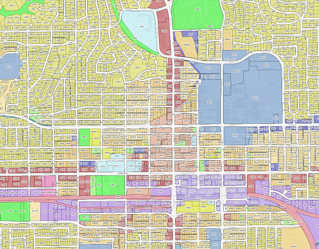
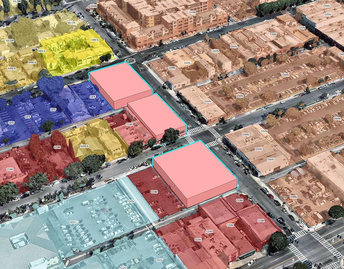
Build land use scenarios
Explore insights into emerging trends and issues with scenario planning tools for growth capacity analysis and land use interventions.
Measure impact as you plan
Make advanced analytics part of the process by establishing baselines for things like carbon dioxide emissions, trip generation, and parking
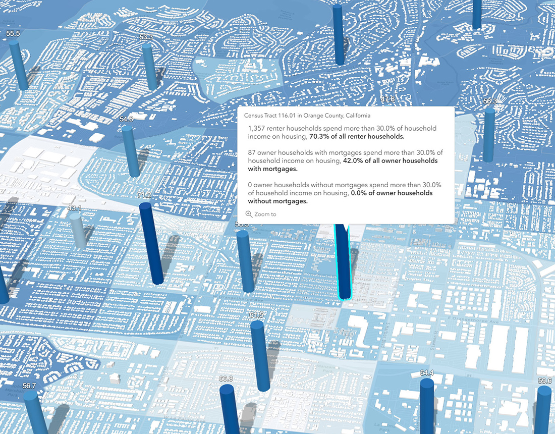
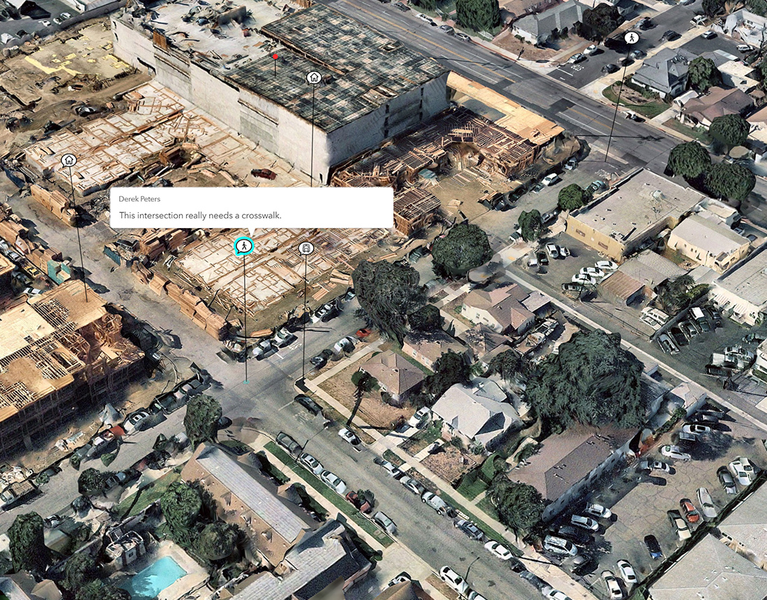
Facilitate public feedback
Ensure all voices are heard by supporting conventional engagement activities with digital content and surveys that drive the conversation.
Specific Plans
Combine a concrete vision with short-term action on neighborhood plan areas with ArcGIS Urban. Achieve urban transformation through a more analytical and parametric-driven process that is both dynamic and creative.
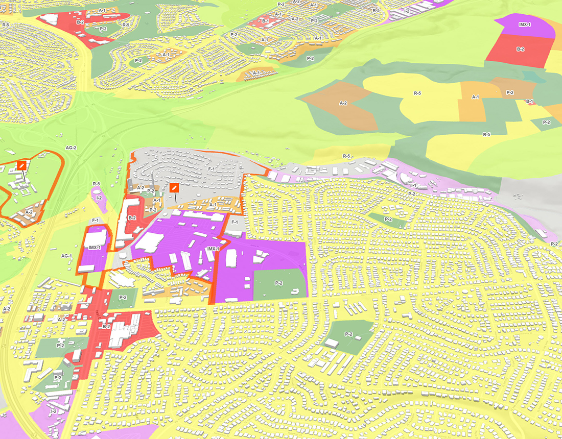
Manage a digital zoning code
Establish a GIS-based zoning map to test proposals and conduct zoning revisions. Empower the real estate community to easily calibrate projects.
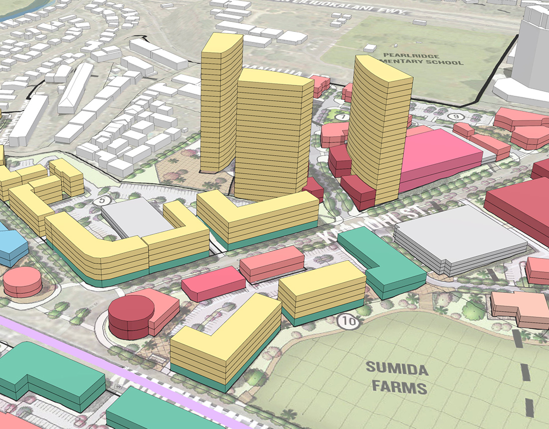
Design what-if scenarios
Explore zoning changes by comparing current and proposed buildable volumes. Test the allocation of plausible building forms to evaluate impact.
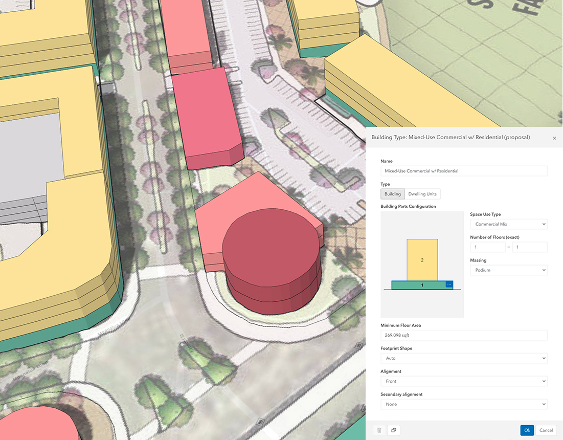
Customize building types
สามารถกำหนดรูปแบบอาคารและประเภทการใช้ประโยชน์อาคาร ด้วยการใช้พารามิเตอร์ หรือนำข้อกำหนดที่มีอยู่จาก Library ที่ง่ายต่อการใช้งาน และทดสอบความเป็นไปได้โดยใช้ Zoning overlays และความสามารถอื่น ๆ
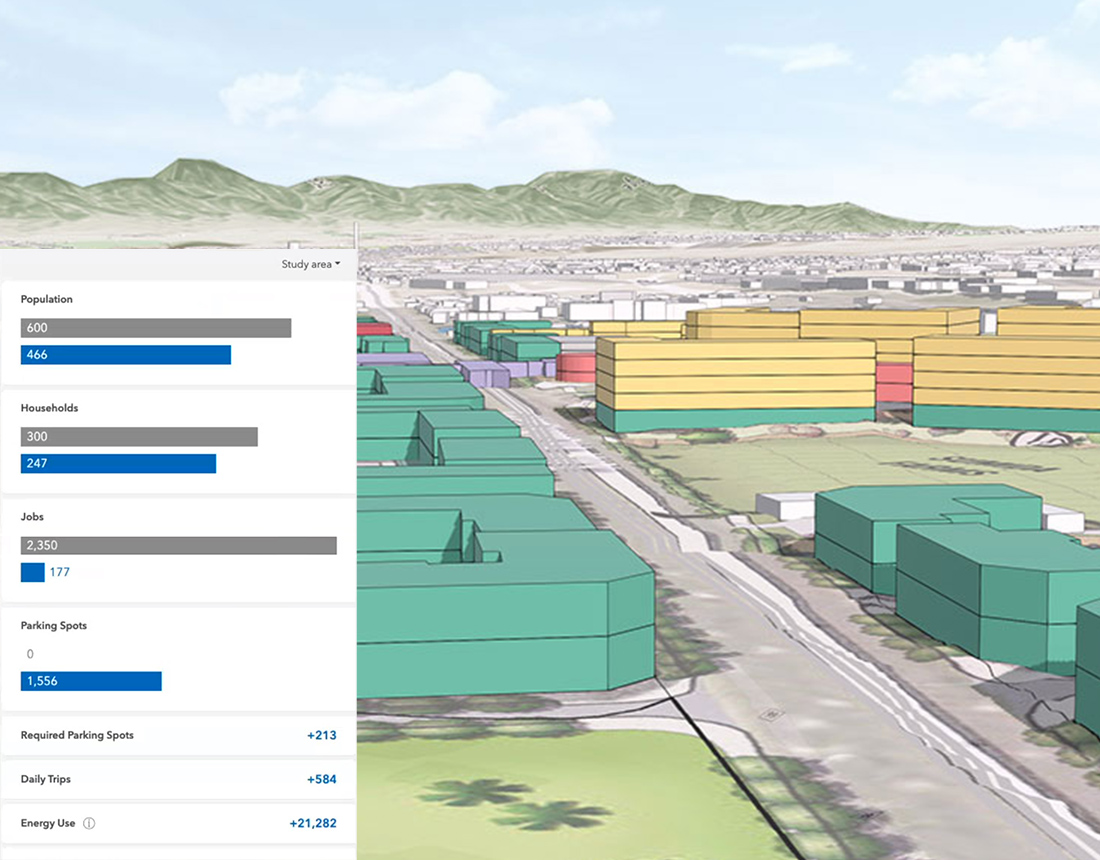
Validate proposed changes
Give planning teams two-way validation designed to manage land use and zoning coordination across all plans.
Development Review
Streamline the development review process from years to months with ArcGIS Urban. Establish a digital twin, standardized spatial analysis, and a shared view of activity across the city.
Visualize and track projects
Improve communication with elected officials, community leaders, and residents regarding the ongoing status of current and past projects.
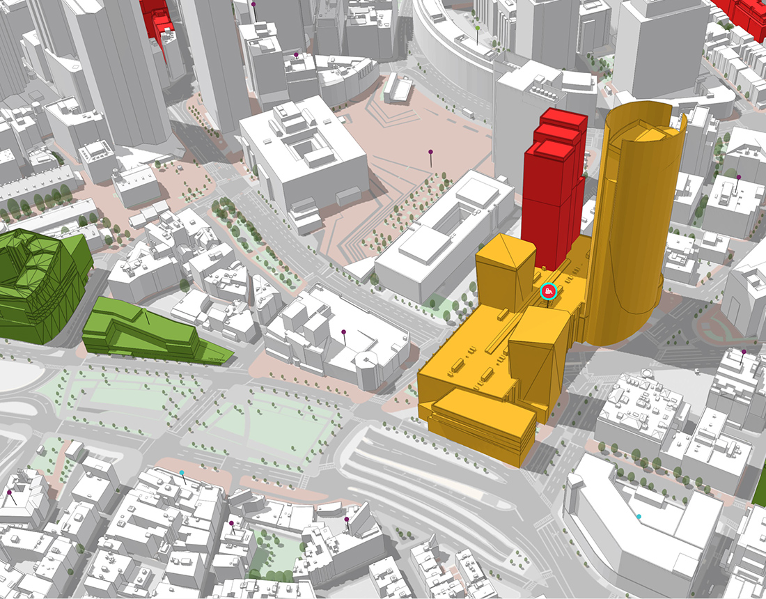
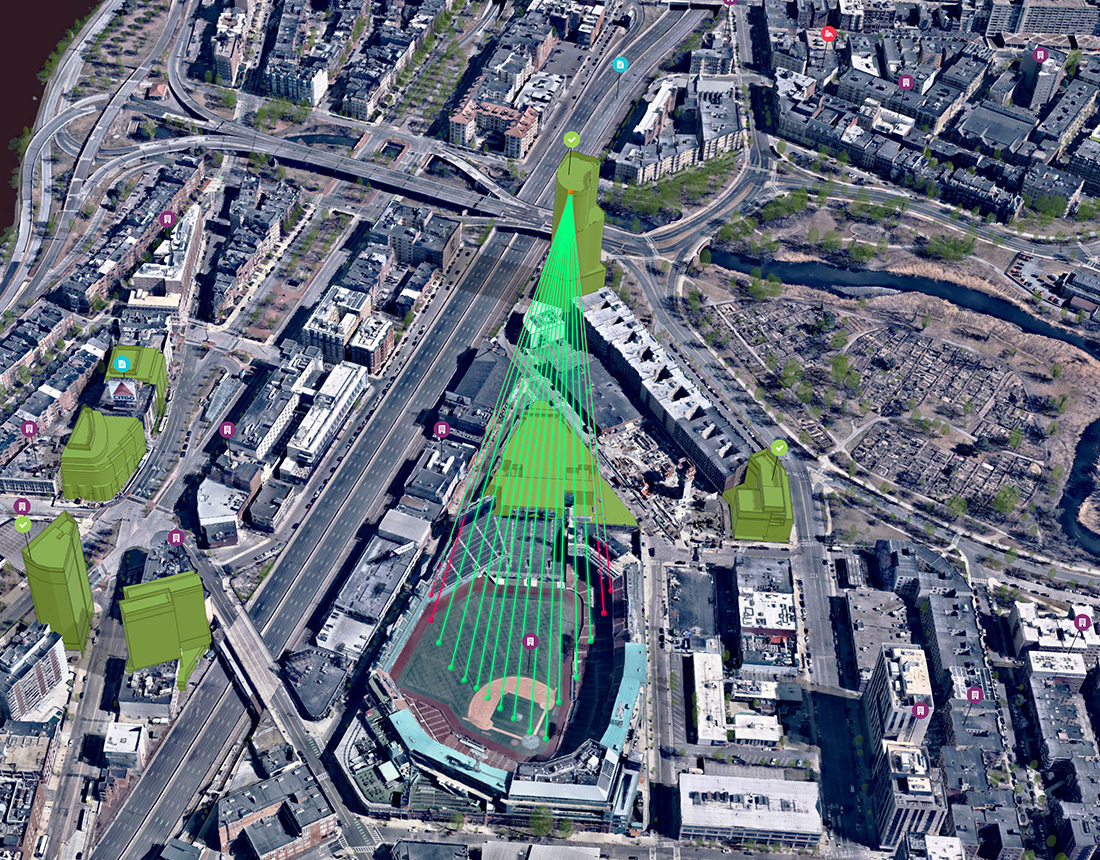
Analyze shadow and viewshed
Web-based spatial analysis tools can be used to easily evaluate inbound proposals in their real-world context.
Enable public feedback
Break down the communication barrier by supporting web-based public feedback for a specific duration.
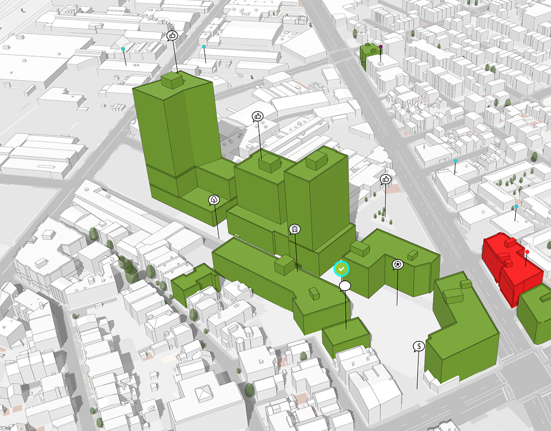
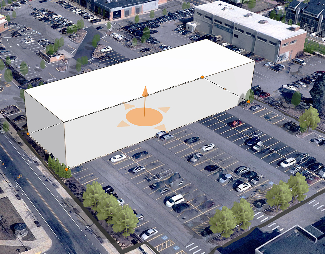
Sketch quick concepts
Start creating concept sketches anywhere in the city with building creation tools and an out-of-the-box 3D model library.
Urban Design and Visualization
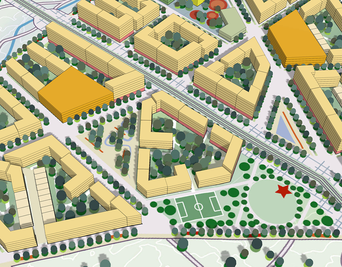
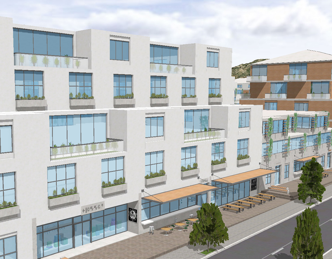
ArcGIS Urban is integrated with ArcGIS CityEngine, a desktop procedural modeling tool. CityEngine can transform massing studies into detailed urban designs for visualization and virtual reality experiences.
Design advancement and visualization
CityEngine connects directly to plans and projects in ArcGIS Urban for design advancement and visualization of detailed building facades and streetscapes.
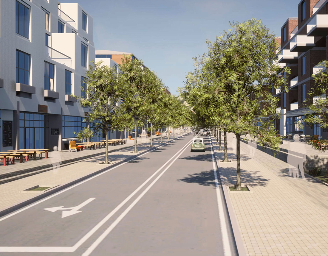
Share a virtual walking tour
Create custom VR templates for Unreal Engine to gain more buy-in and ensure that residents can experience the visuals during community workshops.
Conduct real-time analysis
Evaluate viewshed and other spatial characteristics of projects with exploratory analysis tools.
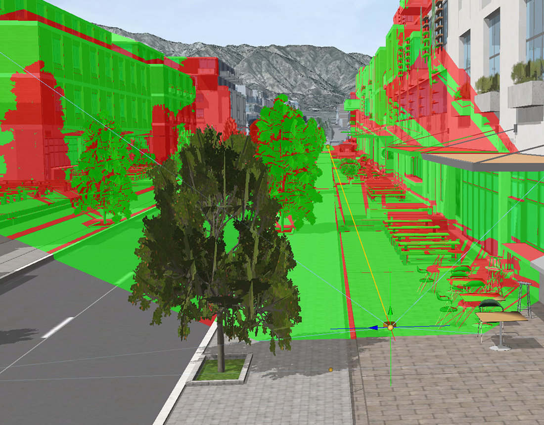
Create custom procedural rules
Write and edit your own Computer-Generated Architecture (CGA) rules, a unique programming language to generate architectural 3D content.
Comprehensive Plans
In ArcGIS Urban, a scenario-based comprehensive plan is data-informed, shaped by diverse input from the community, adaptable and highly responsive to changes occurring across all sectors.

Maintain data consistency
Move beyond static regulatory practices by leveraging a GIS-based approach to data management and the organization of planning teams.

Build land use scenarios
Explore insights into emerging trends and issues with scenario planning tools for growth capacity analysis and land use interventions.

Measure impact as you plan
Make advanced analytics part of the process by establishing baselines for things like carbon dioxide emissions, trip generation, and parking

Facilitate public feedback
Ensure all voices are heard by supporting conventional engagement activities with digital content and surveys that drive the conversation.
Specific Plans
Combine a concrete vision with short-term action on neighborhood plan areas with ArcGIS Urban. Achieve urban transformation through a more analytical and parametric-driven process that is both dynamic and creative.

Manage a digital zoning code
Establish a GIS-based zoning map to test proposals and conduct zoning revisions. Empower the real estate community to easily calibrate projects.

Design what-if scenarios
Explore zoning changes by comparing current and proposed buildable volumes. Test the allocation of plausible building forms to evaluate impact.

Customize building types
สามารถกำหนดรูปแบบอาคารและประเภทการใช้ประโยชน์อาคาร ด้วยการใช้พารามิเตอร์ หรือนำข้อกำหนดที่มีอยู่จาก Library ที่ง่ายต่อการใช้งาน และทดสอบความเป็นไปได้โดยใช้ Zoning overlays และความสามารถอื่น ๆ

Validate proposed changes
Give planning teams two-way validation designed to manage land use and zoning coordination across all plans.
Development Review
Streamline the development review process from years to months with ArcGIS Urban. Establish a digital twin, standardized spatial analysis, and a shared view of activity across the city.

Visualize and track projects
Improve communication with elected officials, community leaders, and residents regarding the ongoing status of current and past projects.

Analyze shadow and viewshed
Web-based spatial analysis tools can be used to easily evaluate inbound proposals in their real-world context.

Enable public feedback
Break down the communication barrier by supporting web-based public feedback for a specific duration.

Sketch quick concepts
Start creating concept sketches anywhere in the city with building creation tools and an out-of-the-box 3D model library.
Urban Design and Visualization
ArcGIS Urban is integrated with ArcGIS CityEngine, a desktop procedural modeling tool. CityEngine can transform massing studies into detailed urban designs for visualization and virtual reality experiences.

Design advancement and visualization
CityEngine connects directly to plans and projects in ArcGIS Urban for design advancement and visualization of detailed building facades and streetscapes.

Share a virtual walking tour
Create custom VR templates for Unreal Engine to gain more buy-in and ensure that residents can experience the visuals during community workshops.

Conduct real-time analysis
Evaluate viewshed and other spatial characteristics of projects with exploratory analysis tools.

Create custom procedural rules
Write and edit your own Computer-Generated Architecture (CGA) rules, a unique programming language to generate architectural 3D content.

