16 Nov Making Farming more efficient and remain competitive
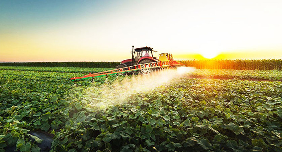
In today’s changing world and agricultural industry, planning for an uncertain future to make farmimg more efficient and to remain competitive in the field is essential.
Esri’s GIS technology enables you to collect, maintain, analyze, and share your agriculture data with ArcGIS and make better in-season decisions.
Things you can do with ArcGIS for improving your farm operations are creating maps and dashboards that connect important variables such as soils, irrigation, yield, production costs, profit, and other related information. Adding maps, imagery, field data collections, and real-time sensor feeds into interactive apps to understand how to make the most of your limited resources. Finally, you can use maps and spatial data analysis to visualize, understand, plan, and act when coordinating detailed and complex farm management programs.
See how science, data, and location intelligence support modern agriculture: https://www.esrith.com/kh/industries/natural-resources-overview/
Unleashing GIS Technology’s potential in every industries
