Open Vision

Open Source Software

Esri continues to make significant technical and financial contributions to open source software events, libraries, tools, and apps. Esri employees have developed over 500 open source projects on GitHub, most of them licensed under Apache 2.0; regularly contribute to third-party projects like GDAL; and attend FOSS4G conferences.

Open source spotlight

Esri development staff are encouraged to engage with the open-source community. Developers
regularly share open source projects via GitHub to enable developers and partners to port Esri
capabilities across the web. Esri welcomes more interactions with developers on this forum.

Esri development staff are encouraged to engage with the open-source community. Developers regularly share open source projects via GitHub to enable developers and partners to port Esri capabilities across the web. Esri welcomes more interactions with developers on this forum.
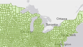
Esri Leaflet
Integrate ArcGIS services with Leaflet using this lightweight set of GIS tools.

ArcGIS REST JS
Use compact, modular JavaScript wrappers for the ArcGIS REST.

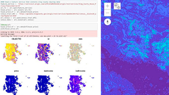
R-ArcGIS Bridge
Bridge ArcGIS and the R Project for Statistical Computing.

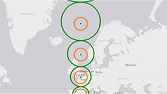
GIS Tools for Hadoop
Use the Hadoop framework to complete spatial analysis on spatial data.

Terraformer
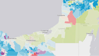
Work with geometry, geography, formats, and building geodatabases with this geographic toolkit.


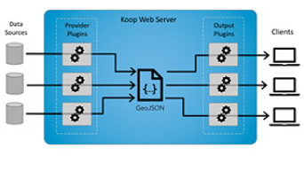
Koop
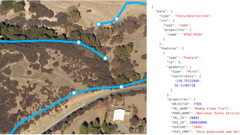
Dynamically transform geospatial data into GeoJSON, CSV, KML, shapefile, GeoServices (or Esri feature service) format.


Esri Geometry API for Java
Write custom applications for analyzing spatial data.


Geoportal Server Catalog
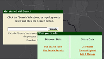
Organize, manage, and publish metadata for geospatial resources using established metadata standards and custom profiles.


Esri Leaflet
Integrate ArcGIS services with Leaflet using this lightweight set of GIS tools.


ArcGIS REST JS
Use compact, modular JavaScript wrappers for the ArcGIS REST.


R-ArcGIS Bridge
Bridge ArcGIS and the R Project for Statistical Computing.


GIS Tools for Hadoop
Use the Hadoop framework to complete spatial analysis on spatial data.


Terraformer
Work with geometry, geography, formats, and building geodatabases with this geographic toolkit.


Koop
Dynamically transform geospatial data into GeoJSON, CSV, KML, shapefile, GeoServices (or Esri feature service) format.


Esri Geometry API for Java
Write custom applications for analyzing spatial data.


Geoportal Server Catalog
Organize, manage, and publish metadata for geospatial resources using established metadata standards and custom profiles.