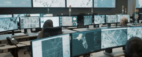
ArcGIS Image Server
The fast, efficient way to process, analyze, and share massive collections of imagery and rasters.
Powerful analysis using raster analytics
Raster Analytics quickly extracts information from very large images or image collections. Highly scalable raster analysis models, with distributed computing and storage, get traditionally large and slow analytical tasks done in a fraction of the time. Use Raster Analytics to preserve dynamic imagery as large datasets while analysis tools run, to run multiple analyses on the same imagery, and to maintain data records. Create and run your own job-specific raster analysis models on existing imagery, rasters, and GIS data.
Access and process with Dynamic Image Services
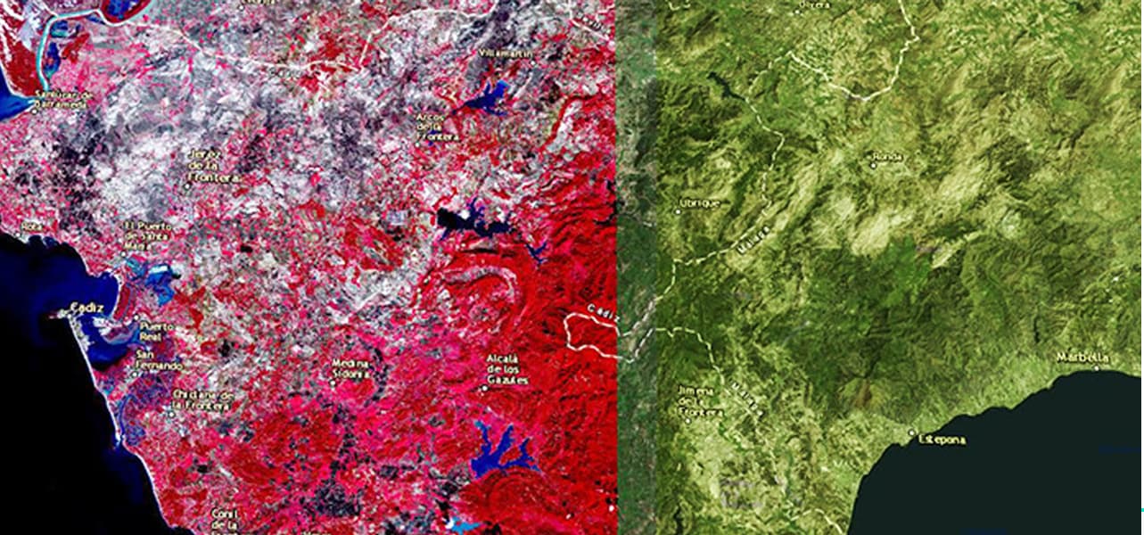
Dynamic Image Services provide on-the-fly processing and mosaicking capabilities to make it easy to access both new and existing imagery. On-the-fly processing transforms your source imagery into a wide range of on-demand products, reducing the amount of imagery you need to process and maintain. Dynamic Mosaicking easily handles overlapping imagery to display the most relevant imagery on top.
Share imagery products enterprise-wide
Give your entire organization access to imagery—a great interactive source of visual and analytic information. With ArcGIS Image Server, it’s easy to deliver interactive imagery products and provide access to end-users where and how they need it via the entire ArcGIS platform.
Case Study
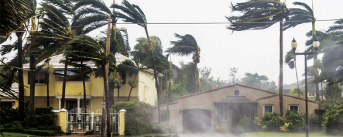
The Eye After the Hurricane, Geospatial Coalition Rapidly Supplies Storm Impact Imagery to Aid Rescue, Recovery
The fast, efficient way to process, analyze, and share massive collections of imagery and rasters.
Powerful analysis using raster analytics
Raster Analytics quickly extracts information from very large images or image collections. Highly scalable raster analysis models, with distributed computing and storage, get traditionally large and slow analytical tasks done in a fraction of the time. Use Raster Analytics to preserve dynamic imagery as large datasets while analysis tools run, to run multiple analyses on the same imagery, and to maintain data records. Create and run your own job-specific raster analysis models on existing imagery, rasters, and GIS data.
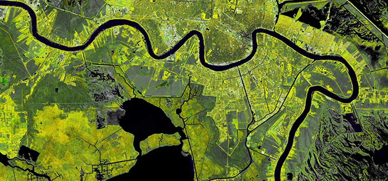
Access and process with Dynamic Image Services
Dynamic Image Services provide on-the-fly processing and mosaicking capabilities to make it easy to access both new and existing imagery. On-the-fly processing transforms your source imagery into a wide range of on-demand products, reducing the amount of imagery you need to process and maintain. Dynamic Mosaicking easily handles overlapping imagery to display the most relevant imagery on top.
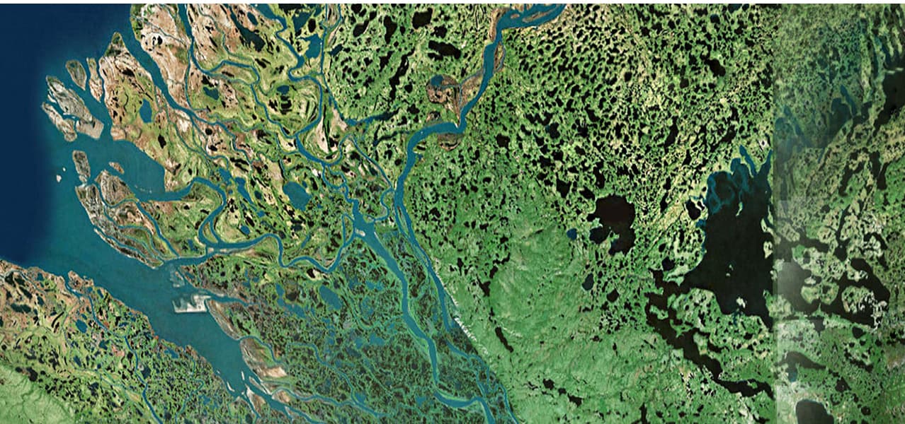
Share imagery products enterprise-wide
Give your entire organization access to imagery—a great interactive source of visual and analytic information. With ArcGIS Image Server, it’s easy to deliver interactive imagery products and provide access to end-users where and how they need it via the entire ArcGIS platform.
Case Study

The Eye After the Hurricane, Geospatial Coalition Rapidly Supplies Storm Impact Imagery to Aid Rescue, Recovery

